What is the weather like today in the UK?
Today will be mostly cloudy with occasional patchy rain developing, particularly across western areas. In contrast, parts of southeast England and eastern Scotland may see some breaks in the clouds, allowing for brief periods of sunshine.
As the day progresses into tonight, the weather is expected to remain largely cloudy, with conditions potentially becoming quite murky, especially in southern and eastern regions. Patchy rain is anticipated to reach Northern Ireland and western Scotland by morning.
What does the forecast indicate for the coming days?
Looking ahead to Tuesday, most places will experience another cloudy day, with rain in the west moving eastward and gradually weakening. From Wednesday to Friday, the weather will turn increasingly changeable, bringing showers or longer periods of rain.
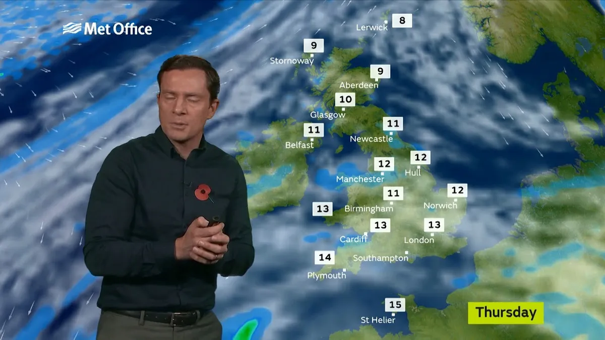
Temperatures should remain close to normal for this time of year, although they are expected to turn colder by Friday. It is likely to be windy at times, adding to the unsettled conditions.
How does this compare to recent weather patterns?
January 2026 brought a long run of unsettled weather across the UK, characterized by repeated bouts of heavy rain, storms, and strong winds. Notably, rainfall levels were significantly above average, with a 17% increase over the long-term January average across the UK.
In January alone, Northern Ireland saw a 70% increase in rainfall, while England experienced a 50% increase, and southern England recorded a 74% rise. The winter of 2025/26 has been particularly notable, with rainfall levels 13% above average for the season and a mean temperature of 5.7 degrees Celsius, which is 0.5 degrees cooler than average.
As the UK continues to navigate through this period of variable weather, residents are advised to stay updated on forecasts and prepare for changing conditions.